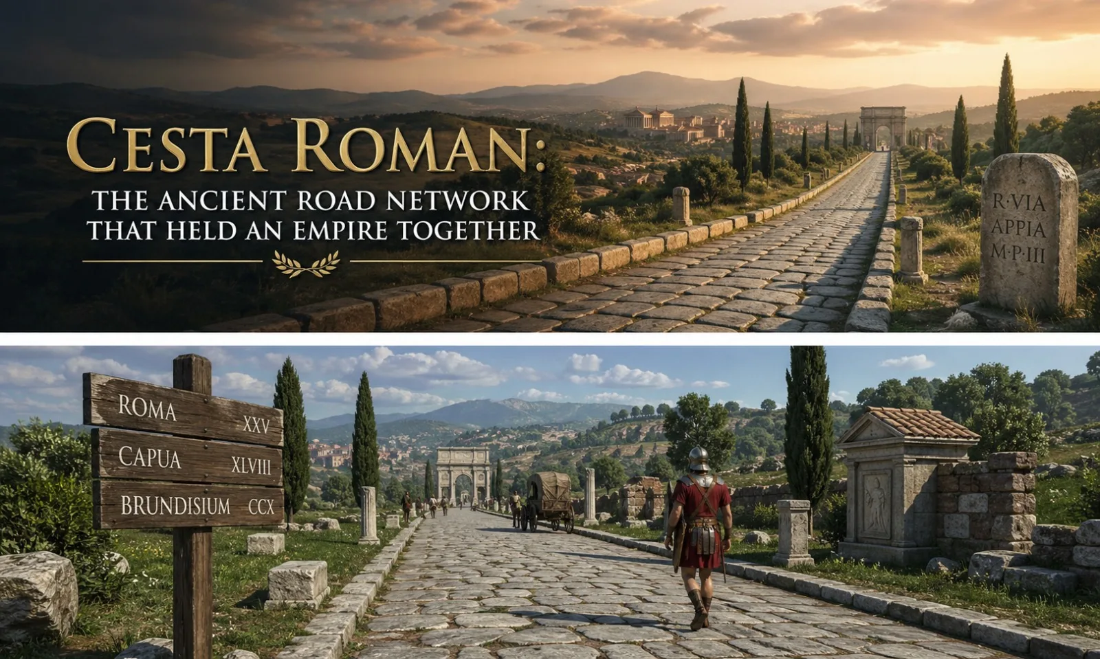
Before the internet, before railways, before even the printing press, one civilization solved the hardest problem of running a superpower: how do you control 5 million square kilometers from a single city? The answer was the cesta roman. These roads did not just connect places. They transmitted power, culture, commerce, and authority across three continents for over seven centuries.
Cesta roman translates directly as “Roman road,” drawing from Slavic roots where cesta means path or route, and combining it with Roman to identify its origin. The Romans themselves called their roads viae Romanae, but today, cesta roman has become the modern shorthand used widely in historical discussions, travel content, and engineering literature. At its peak, the Roman road network covered more than 400,000 kilometers total, with over 80,000 kilometers of paved surface, spanning from Scotland to the Persian Gulf.
What Cesta Roman Actually Means and Why It Matters
The phrase cesta roman is not a classical Latin term. It is a hybrid expression, blending a Slavic word for road with the Latin-derived adjective. Roman engineers called their infrastructure “viae, from which we get words like “via,” “viaduct,” and even “deviate.” The term viae Romanae was formal. In everyday Latin, a paved road was a via strata, which literally means “a laid or strewn way.”
That phrase is the direct ancestor of the modern English word “street.”Understanding this etymology matters because it shows how deeply cesta roman shaped language itself. When you say “street” today, you are using a word that traces back to the moment Roman workers laid the first stones outside the gates of Rome.
The Origins of Cesta Roman: How It All Started
The First Road and the Man Behind It
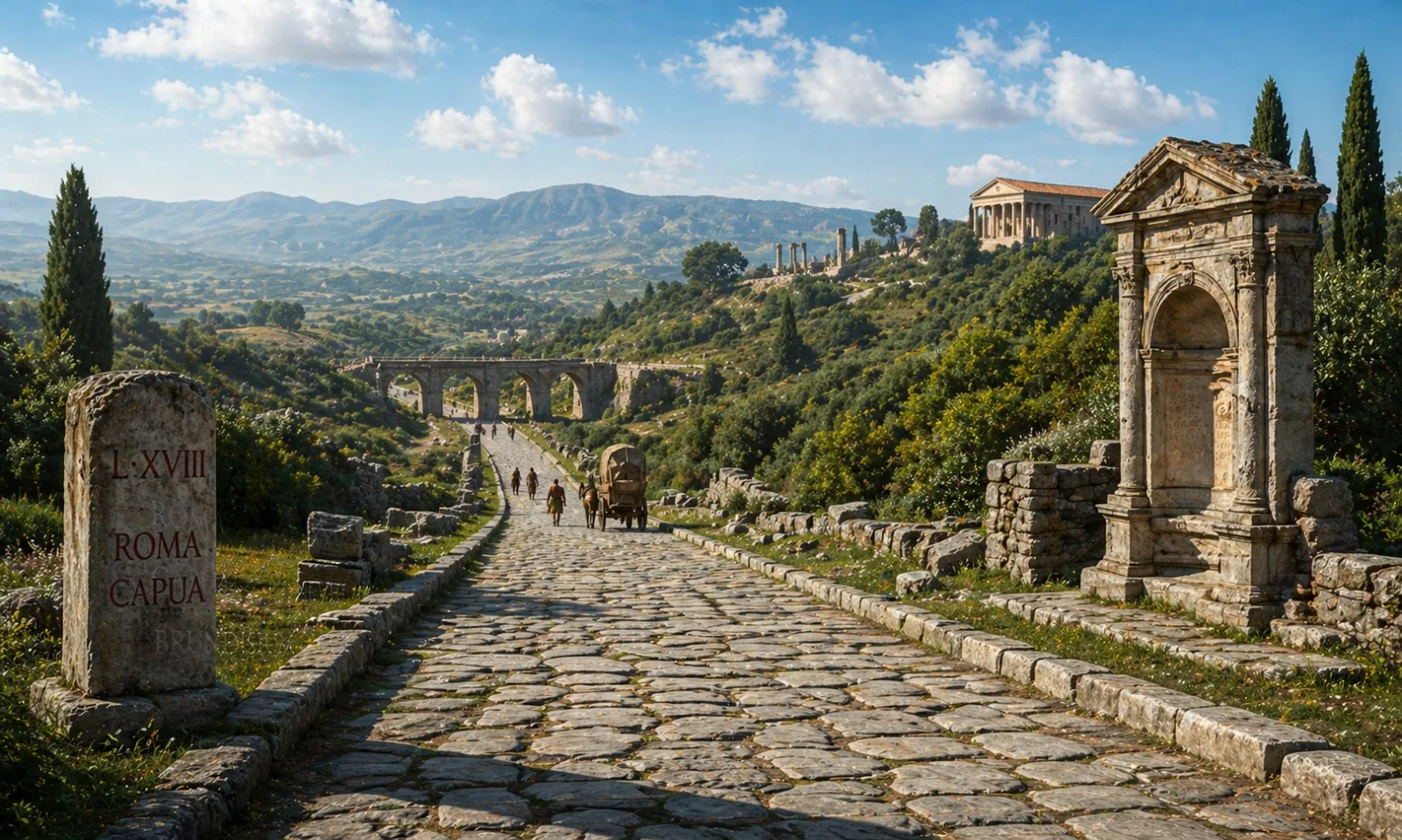
The story of cesta roman begins formally in 312 BCE, during the censorship of Appius Claudius Caecus. He ordered the construction of the Via Appia, a road running 212 kilometers from Rome south to Capua. It was later extended to reach Brundisium, modern-day Brindisi, on the Adriatic coast, covering a total of around 569 kilometers.
Appius Claudius did not just build a road. He established a standard. The Via Appia set the template for surface quality, width, drainage, and surveying that would define every major cesta roman built afterward. It earned the title Regina Viarum, meaning Queen of Roads, a name it still carries today.
From Military Track to Imperial Spine
Initially, roads were purely military tools. Roman generals needed legions to move fast. A soldier carrying a full kit, roughly 20 kilograms of equipment, could cover approximately 30 kilometers per day on a well-built cesta roman. On rough terrain or muddy paths, that dropped to 15 kilometers or less. The difference was decisive in warfare.
As Rome expanded beyond Italy after the Punic Wars (264–146 BCE), the road network expanded with it. By the 1st century BCE, roads ran through Gaul, Hispania, North Africa, and into Asia Minor. The empire’s appetite for control demanded an ever-larger cesta roman network, and Roman engineers delivered.
The Science Behind Cesta Roman Construction
How Roman Engineers Surveyed Routes
The men responsible for planning a cesta roman were called agrimensores, or land measurers. They used a remarkable device called a groma, a cross-shaped metal instrument mounted on a pole, to establish right angles and straight lines across vast distances.
When the terrain blocked their view, they lit signal fires at the destination point to guide the survey line.This is why so many Roman roads appear impossibly straight on modern maps. It was not accidental. The Romans chose directness over ease, cutting through hills and bridging rivers rather than curving around obstacles.
Layer by Layer: The Four-Part System
The construction of cesta roman followed a precise four-layer formula that civil engineers still study in 2026.
| Layer Name | Material Used | Purpose |
| Statumen | Large flat stones set in cement | Foundation and stability on firm ground |
| Rudus | Smaller stones mixed with lime mortar | Structural support and weight distribution |
| Nucleus | Fine gravel, crushed pottery, or sand | Level surface and drainage buffer |
| Summa Crusta (Pavimentum) | Large polygonal stones fitted tightly | Smooth, durable walking and driving surface |
Workers first dug a trench called the fossa down to bedrock or the firmest available subsoil. Then each layer was added and compacted. The finished road surface was slightly arched, or cambered, in the middle, so rainwater drained into side ditches called fossae rather than pooling on the road.
This engineering was so effective that multiple cesta roman sections in Italy, France, and Turkey survive perfectly intact after 2,000 years of weather and use.
The Roman Mile and the Milestones of Cesta Roman
Measuring the Empire in Paces
Every cesta roman was measured in milia passuum, meaning “one thousand paces.” Each pace was two steps, roughly 1.48 meters, making one Roman mile approximately 1,480 meters. The modern mile of 1,609 meters descends directly from this measurement.Milestones, called miliaria, were placed at every Roman mile along major roads. These were not simple markers. A miliarium was a cylindrical column roughly 1.5 meters tall, weighing over two metric tons, set into a rectangular base.
Each one recorded:
- Distance to the Roman Forum in Rome
- The name of the emperor who ordered construction or repair
- The name of the official responsible for the road segment
- The date of construction
These stones are primary historical documents. Volume XVII of the Corpus Inscriptionum Latinarum, the great catalogue of Roman inscriptions, is dedicated entirely to road milestones. Thousands survive.
The Famous Roads of the Cesta Roman Network
Roads That Still Shape Europe Today
The cesta roman network was not a single road. It was a system of interconnected routes, each with a specific strategic purpose.
- Via Appia — Built 312 BCE, running Rome to Brundisium, the oldest and most famous cesta roman.
- Via Egnatia — Crossed northern Greece and Macedonia into Byzantium, becoming the main route to the eastern empire.
- Via Flaminia — Connected Rome to Ariminum (Rimini) on the Adriatic, opening the route to northern Italy and Gaul.
- Via Aurelia — Ran up Italy’s western coast into southern Gaul, later becoming the spine of Mediterranean coastal travel.
- Via Augusta — Extended through Hispania, linking southern Spain to the Pyrenees and Rome.
- Watling Street — The cesta roman in Roman Britain, running from the Kent coast to London and northwest to Viroconium.
Several of these routes are the direct ancestors of national highways still in use today. Italy’s SS7, for example, follows the Via Appia almost exactly. Britain’s A2 motorway from London to Dover traces Watling Street.
Cesta Roman and the Cursus Publicus: Rome’s Postal System
The Ancient World’s Communication Network
One of the most underappreciated features of the cesta roman network was the cursus publicus, the state-run courier and transport system established by Emperor Augustus around 20 BCE. It functioned like a combination of the postal service, the railways, and government transport all in one.
How the System Worked
The cursus publicus maintained staging posts, called mutationes, every 10 to 15 Roman miles along major cesta roman routes. These provided fresh horses and drivers for official messengers. Larger mansiones, or rest stations, appeared every 25 to 35 miles, offering accommodation, food, stables, and veterinary services.
An official courier using the cursus publicus could cover up to 80 Roman miles per day, roughly 118 kilometers. For urgent imperial dispatches, relay riders could push even faster. This speed was revolutionary. It meant that Emperor Trajan, ruling from Rome in 117 CE, could receive news from Mesopotamia in roughly two to three weeks.
Cesta Roman’s Role in Trade and the Economy
More Than Roads: An Economic Infrastructure
The cesta roman system transformed the Roman economy in ways that went far beyond simple travel convenience. With reliable roads, merchants could calculate transit times, plan supply chains, and set competitive prices.
The economic historian Peter Temin, in his 2013 study The Roman Market Economy, estimated that the road network reduced transport costs enough to effectively integrate markets across 3,000 kilometers of territory, something no other ancient civilization achieved.
What Moved on These Roads
The variety of goods traveling cesta roman routes was extraordinary:
- Spanish olive oil and wine in ceramic amphorae
- Egyptian grain heading to feed Rome’s one million residents
- British tin and Cornish copper for metalwork
- North African marble for temples and public buildings
- Galatian wool and Anatolian textiles for Roman markets
- Syrian glass, a luxury product of the 1st century CE
A single Roman freight wagon could carry around 500 kilograms. Oxen moved slowly, perhaps 20 to 25 kilometers per day, but the reliability of cesta roman surfaces made the journey predictable and safe year-round, unlike sea routes that closed in winter.
Cesta Roman and Cultural Transformation
How Roads Spread Latin, Law, and Roman Identity
Every cesta roman was also a cultural corridor. As soldiers, merchants, and officials traveled, they carried Latin with them. By the 2nd century CE, Latin had displaced dozens of local languages across western Europe, not through force alone, but through the daily economic necessity of communicating with Rome’s administrative and commercial network.
The roads spread Roman law, Roman architecture, and Roman religion. Cities grew at road junctions because that was where trade happened. Many modern European capitals, including London (Londinium), Paris (Lutetia), Vienna (Vindobona), and Lyon (Lugdunum), began as settlements on cesta roman routes.
Christianity itself traveled these roads. The Apostle Paul’s missionary journeys described in the New Testament followed cesta roman routes through Asia Minor, Greece, and eventually to Rome. The road to Damascus was a cesta roman. The road Paul walked from Thessalonica to Athens was the Via Egnatia.
What Cesta Roman Looked Like Up Close
The Experience of a Roman Traveler
Walking or riding a cesta roman in, say, 100 CE was a surprisingly organized experience. Major roads were 4 to 6 meters wide, enough for two carts to pass each other. Kerb stones lined the edges. Stepping stones helped pedestrians cross intersections without wading through mud or animal waste.
At every mansio, a traveler could find:
- Stabling for horses and mules
- A basic inn called a caupona or taberna
- Food, water, and wine
- Blacksmiths for wheel and shoe repairs
- In larger stations, bathhouses
Inns along cesta roman routes were notorious in Roman literature for being rough places. The satirist Horace described a journey down the Via Appia in his Sermones, written around 35 BCE, complaining about smoky rooms, bad water, and noisy innkeepers. Even 2,000 years ago, traveler complaints were universal.
Cesta Roman in Archaeological Discovery
What Excavations Keep Revealing
Archaeologists continue to uncover new sections of cesta roman across Europe and the Middle East. In 2018, workers in London uncovered a perfectly preserved 2-meter section of Roman road during underground construction near Borough Market, complete with the original pavimentum stones still in place.
In 2021, road excavations in the Negev Desert in Israel exposed a well-preserved stretch of the cesta roman network connecting the province of Arabia Petraea to the Mediterranean coast, complete with milestones dating to the reign of Emperor Trajan, around 112 CE.
The Via Appia Antica in Rome attracts over three million visitors per year and remains one of Italy’s most important archaeological corridors. Preservation bodies like the Parco Regionale dell’Appia Antica have been managing the site since 1988 to balance tourism, archaeology, and conservation.
The Decline of Cesta Roman and Its Aftermath
Why the Roads Outlasted the Empire
The Western Roman Empire collapsed in 476 CE when the Germanic chieftain Odoacer deposed Emperor Romulus Augustulus. But the roads did not fall with it. Maintenance became irregular. Some sections were cannibalized for building materials. Medieval towns paved their streets with stones pulled from old cesta roman roads nearby.
Yet the routes themselves survived because they went to the right places. The geography that made a Roman road sensible in 200 CE still made a road sensible in 1200 CE. Medieval pilgrims walked the Via Francigena, which followed large sections of Roman roads from Canterbury to Rome. Merchants, armies, and crusaders all used cesta roman routes for centuries after Rome’s fall, simply because no better options existed.
Cesta Roman’s Influence on Modern Engineering
Lessons That Still Apply in 2026
Modern road engineering owes a significant conceptual debt to cesta roman design principles. The core ideas of layered construction, crown drainage, and subsurface stability appear in every contemporary road manual.
The American Association of State Highway and Transportation Officials (AASHTO) road design guidelines, used across the United States, specify the same fundamental principle Roman engineers applied: build a stable, well-drained foundation before laying your surface layer. The Romans arrived at this conclusion empirically over centuries of trial and error. Modern engineers arrived there through testing and analysis. The answer is the same.
(FAQs) About Cesta Roman
What does cesta roman mean in English?
Cesta roman translates to “Roman road.” The word cesta comes from Slavic languages meaning path or route. The term is a modern shorthand for the network of roads built by the Roman Empire, which the Romans themselves called viae Romanae or, in formal Latin, viae stratae.
How long was the entire cesta roman network?
At its peak during the 2nd century CE, the cesta roman network totaled over 400,000 kilometers, with more than 80,000 kilometers of paved surface. This connected territories from Scotland in the north to Mesopotamia in the east and the Sahara in the south.
When was the first cesta roman road built?
The first major cesta roman road was the Via Appia, begun in 312 BCE under the censorship of Appius Claudius Caecus. It connected Rome to Capua, about 212 kilometers south, and was later extended to Brundisium on the Adriatic coast.
Who actually built cesta roman roads?
Road construction was carried out by Roman legionaries during military campaigns, and by enslaved workers, local labor levies, and specialist civilian contractors on established routes. The planning was done by agrimensores, trained surveyors who used the groma instrument to plot straight alignments.
What were the four layers of a cesta roman road?
A standard cesta roman consisted of four named layers: the statumen (large foundation stones), the rudus (smaller stones in lime mortar), the nucleus (fine gravel or sand for leveling), and the summa crusta or pavimentum (fitted polygonal paving stones on the surface).
How did the Romans keep cesta roman roads from flooding?
Roman engineers cambered the road surface, building it slightly higher in the center so rainwater drained toward side channels. Drainage ditches called fossae ran along both sides of the road. This system proved so effective that many cesta roman roads survived intact after 2,000 years.
What was the cursus publicus and how did it use cesta roman routes?
The cursus publicus was the Roman state courier and transport system, established by Emperor Augustus around 20 BCE. It operated along cesta roman routes using staging posts every 10 to 15 Roman miles. Official messengers could travel up to 80 Roman miles per day, giving Rome near real-time communication across its territories.
Are any cesta roman roads still usable today?
Yes. Many modern European roads directly follow cesta roman routes. Italy’s SS7 follows the Via Appia. Britain’s A2 follows Watling Street. Sections of the Via Flaminia in central Italy and the Via Egnatia in Greece and North Macedonia are still visible and walkable. The Via Appia Antica near Rome receives over three million visitors annually.
How did cesta roman roads influence modern language?
Directly. The English word “street” comes from the Latin via strata, meaning a paved or laid road. The word “mile” comes from milia passuum, the Roman measurement of one thousand paces. Even the word “travel” derives ultimately from the effort required to move in the ancient world, where a maintained cesta roman made that effort bearable.
Why did cesta roman roads last so long after Rome fell?
Their durability came from quality materials, layered construction, and proper drainage. But they also survived because they followed logical geography. Routes that connected important places in 200 CE still connected important places in 1200 CE. Medieval travelers, pilgrims, merchants, and armies all used cesta roman routes for centuries simply because no better alternatives existed.
The Enduring Legacy of Cesta Roman
Seven hundred years after Appius Claudius ordered the first stones laid on the Via Appia, travelers were still walking that same road. Twelve hundred years after Rome’s fall, pilgrims on their way to the Holy Land were following its routes. And today, in 2026, highway engineers in Italy, France, and Britain still build roads that trace paths Roman surveyors chose with their gromas and signal fires.
The cesta roman was not just infrastructure. It was a statement about what an organized society can accomplish when it builds for permanence rather than convenience. Every road began with a decision: go the hard way, through the hill, across the river, in a straight line, or take the easy path and meander. Rome almost always chose the hard way. That choice is why the roads lasted.
The next time you follow a highway that runs straight as an arrow through a landscape where nothing else does, there is a reasonable chance you are following a decision made by a Roman surveyor over 2,000 years ago. The cesta roman does not just survive in museums and ruins. It survives beneath the tarmac you drive on every day.
For a detailed academic treatment of Roman roads and their construction methods, the relevant entry on Roman roads provides extensive primary source documentation and scholarly citations.